
LAND SURVEYING
LAND SURVEYING SERVICES

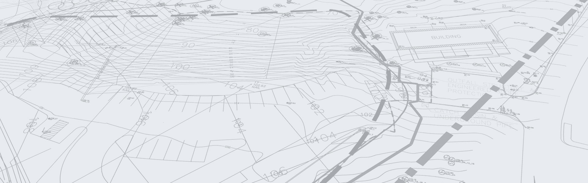
Land Surveying is a vital part of the design and construction process. Simply put, surveying is the technique and science of accurately determining the three-dimensional position of points on the surface of the Earth and the distances and angles between them. At Storhaug Engineering our licensed Land Surveyors and field survey crews are often used to establish topographic maps and land plat maps with boundaries for ownership or governmental purposes.
In order to accomplish their objective, our surveyors use elements of geometry, engineering, trigonometry, mathematics, physics, and law. Our land surveyors perform boundary surveys to tell people where their property is, map the topography of land for engineering design, establish elevations of buildings for flood insurance, perform the surveys for real estate transactions, certify that structures are built according to design, layout buildings, subdivisions and other construction projects, and build control networks that all land parcels can relate to in a given area. We also map slopes and areas for pay volumes or changes, layout photo control for aerial photography and photogrammetry, write legal descriptions that are used to describe pieces of property, map and layout corridors for tunnels, roads, airports, pipelines, cellular networks and railroads, and split up properties into new lots, such as subdivisions.
At Storhaug Engineering we use laser-based Robotic Total Station and GPS tools for precise positioning of points. These operate through satellites which send out signals to our receiver. The receiver then transmits those signals to our data collector, which stores the data. After we get it into the office, we download the data into the computer, and the computer software resolves from the data the exact position of our point within a few millimeters. Some of our surveys include:
ALTA and Post Construction Surveys
Records of Survey
Site Topographic Surveys
Construction Staking
Platting
Land Segregation / Aggregation
Construction Monitoring
Condominium Surveys
Property Delineation
Legal Descriptions
Request a Survey Quote
let’s talk about your project.
Have a project we can help with? Let's talk about it.